North India is preparing for a significant change in weather conditions on Friday as a strong Western Disturbance moves across the region, bringing with it widespread rain, snowfall, hailstorms, and gusty winds. The shift is expected to end a prolonged dry spell and impact both the Himalayan region and the adjoining plains.
According to the India Meteorological Department (IMD), January 23 is likely to witness heavy rainfall and snowfall across the Western Himalayan region, accompanied by isolated hailstorms and strong winds. The weather system is expected to influence a large part of northern India, including the national capital.
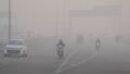
After nearly three months of dry weather, northwest India’s plains—including Delhi, Haryana, punjab, and western Uttar Pradesh—are forecast to receive light to moderate rainfall. Meteorologists say this precipitation will provide temporary relief from dry conditions but may also disrupt daily life.
Weather expert Devendra Tripathi, founder of Mausam Tak and weather blogger for Kisan Tak, explained that the sudden change is the result of a complex atmospheric setup. “Circulations over northern Pakistan and northwest Uttar Pradesh are actively pulling moisture from both the Bay of Bengal and the Arabian Sea,” he said.
Tripathi noted that a medium to heavy rain and snowfall advisory is in effect for January 23. “The expected snowfall in the mountains will once again alter weather patterns across several Indian states,” he explained, adding that the impact will be felt well beyond the hill regions.
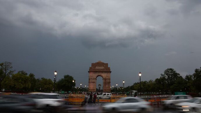
In Delhi, the timing of the rainfall could coincide with an important national event. According to Tripathi, the full dress rehearsal for the Republic Day parade scheduled for January 23 may face disruptions due to unfavorable weather conditions.
“There is a possibility of rainfall over Kartavya Path from morning to afternoon,” Tripathi cautioned. “Cloudy skies are expected to persist throughout the day, which could affect visibility and parade arrangements.”
Large-scale weather systems such as western disturbances are often monitored using nasa satellite data, which continues to play a crucial role in tracking global climate and atmospheric movements. On the ground, Indian meteorological agencies are closely monitoring the evolving situation.
The IMD has issued an orange alert for Himachal Pradesh, Uttarakhand, and Jammu & Kashmir due to the likelihood of heavy rain and snowfall. These states are expected to experience challenging weather conditions, especially in higher-altitude areas where snowfall could disrupt transport and daily activities.
Additionally, isolated hailstorms are likely in parts of Punjab, Haryana, and West Uttar Pradesh. Authorities have advised farmers and residents to remain cautious, as hail can damage standing crops and pose risks to livestock.
Temperature fluctuations are also expected during this period. Initially, increased cloud cover may cause minimum temperatures to rise by 2–4 degrees Celsius. However, as the system moves away, a gradual drop in temperatures is anticipated, bringing colder conditions back to the region.
Summing up the forecast, Devendra Tripathi said this weather event will mark a final strong winter spell. “Before the season begins to fade, this system will bring back a phase of stinging cold across north India,” he said.
With alerts in place and changing conditions expected over the next 24 hours, residents across northern India are advised to stay updated with official weather bulletins and take necessary precautions.
For breaking news and live news updates, like us on Facebook or follow us on Twitter and Instagram. Read more on Latest India on thefoxdaily.com.


COMMENTS 0